Photogrammetry – drone surveying
Basic advantage of mapping by using unmanned aerial vehicles - drones is that a certain job can be realized with a far greater level of detail, in a shorter time for the purposes of data collection in the field, with by achieving optimal accuracy which must be satisfied.
Some of characteristic projects are object mapping for the needs of creating a 3D model, crack detection, for mapping and calculating the volume of waste at landfills, mapping and calculation of the volume of bulk and excavated material, recording the building's energy losses with a thermal camera, mapping land in agriculture for various purposes, mapping the terrain for construction purposes georeferenced orthophotos for the needs of GIS creation, terrain mapping in order to register flooded areas, etc.
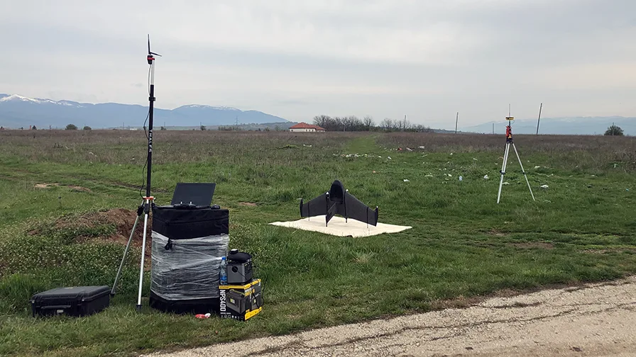
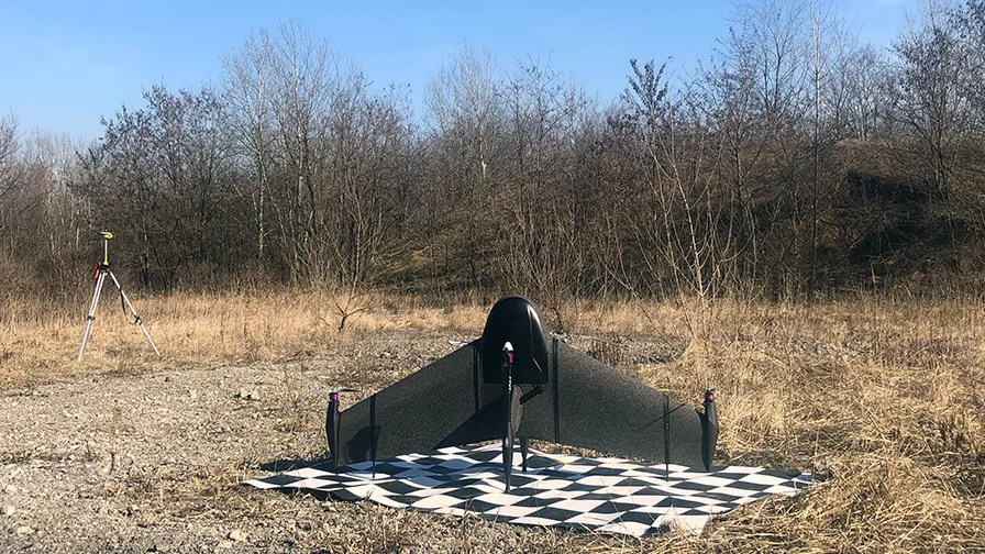
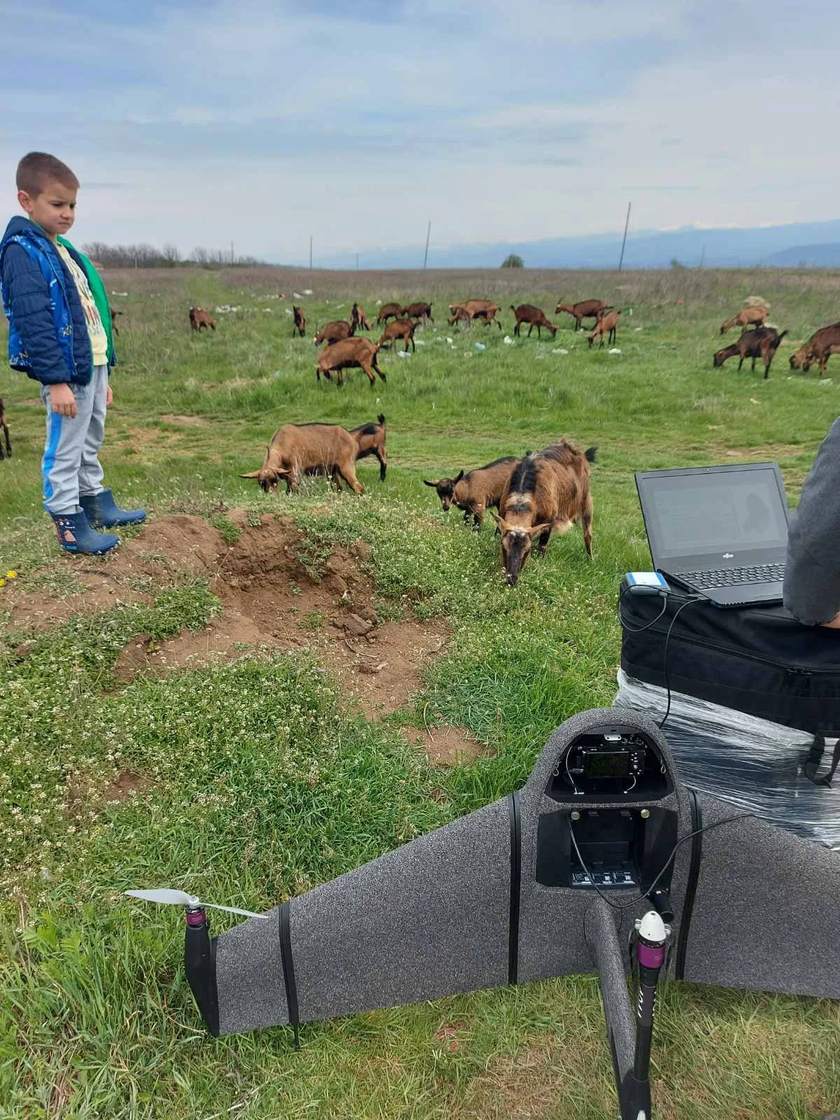
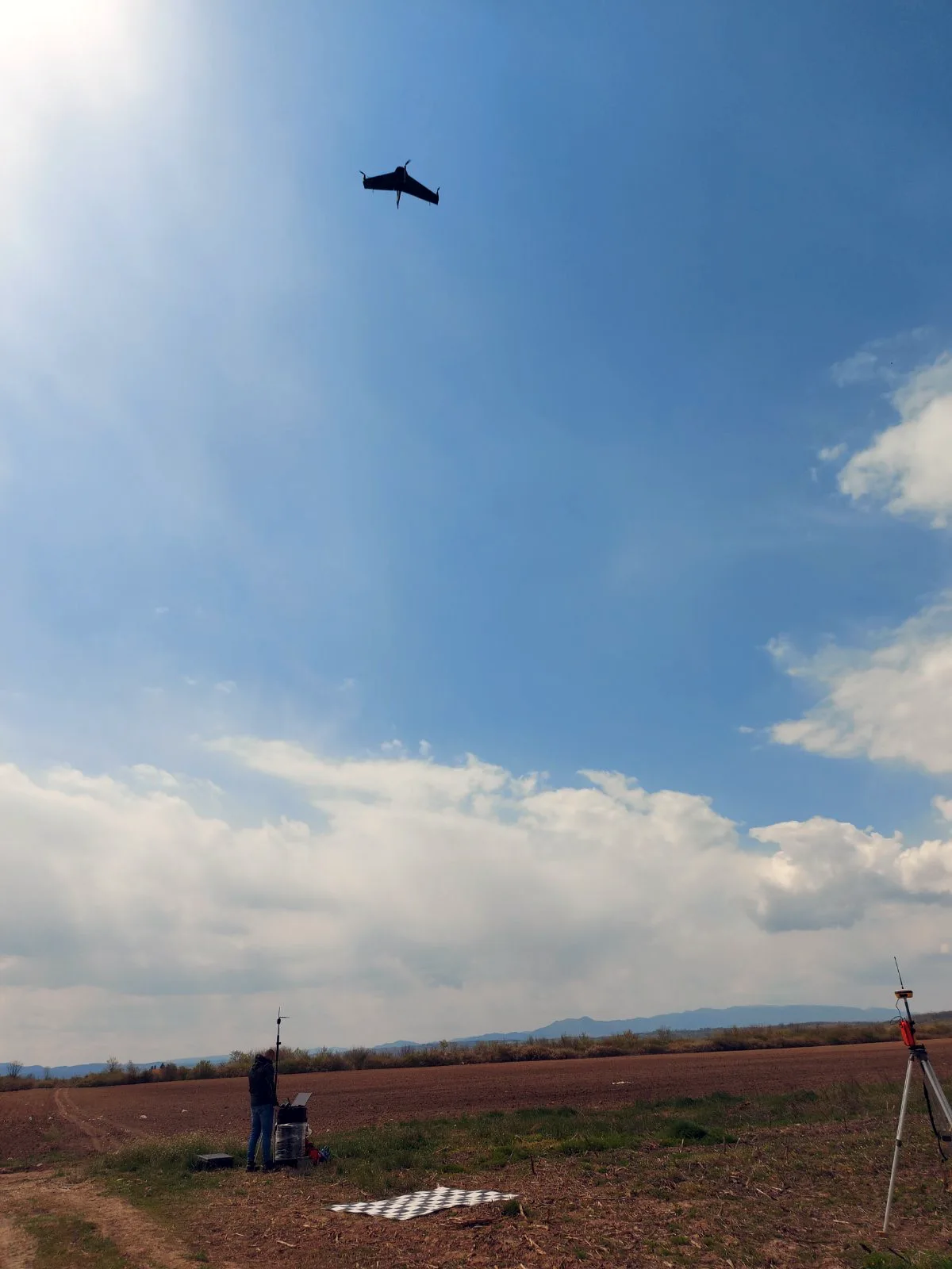
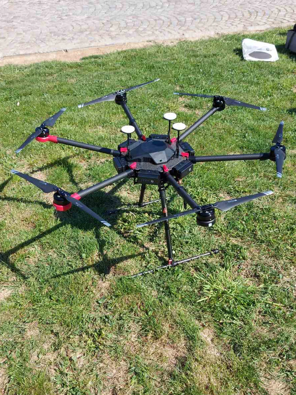
Geodetic Bureau Gaus owns licenses for drone management issued by the Directorate for Civil Aviation of the Republic of Serbia. Drones used for mapping are registered and flights must be approved by air traffic control based on a flight report.
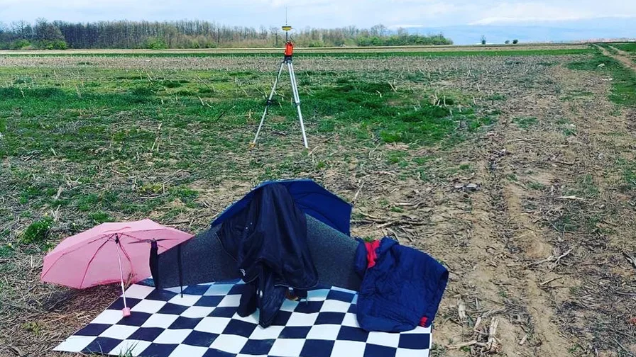
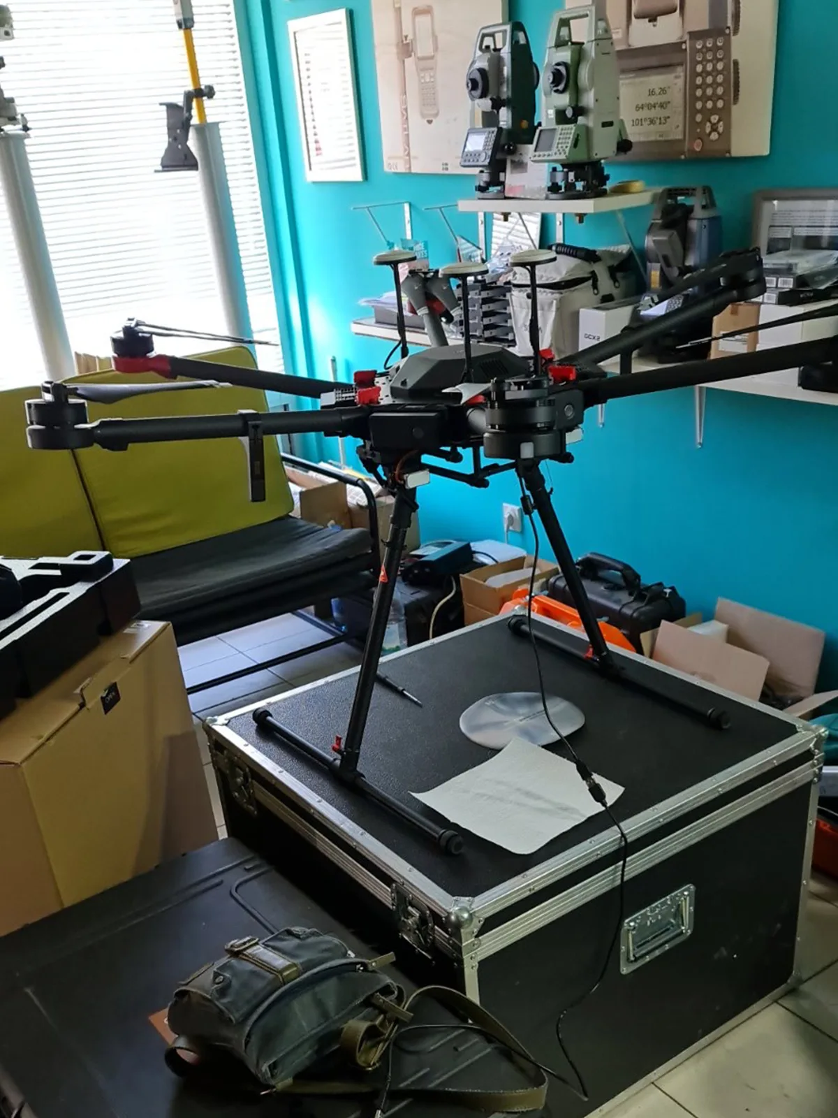
Our equipment
We have equipment and the most modern systems in the field of photogrammetry to provide the most effective solutions in the field of geodesy.