
Technical documentation in the process of building legalization
The technical documentation for the legalization of the facility is made of Report on the found condition of the object which is made by an authorized geodetic organization, of which it is an integral part Elaboration of geodetic works for an illegally built object.
Report on the found condition of the object
The report on the found condition of the object is drawn up by an architect-designer with the appropriate license. For objects for which a request for legalization was submitted according to the previously valid regulations, the competent authority checks whether the owner, in the previously conducted object legalization procedure, submitted the technical documentation prescribed by the then valid regulations and the content of the technical documentation corresponds to the content prescribed for the Report on the found state of the object. in accordance with the new law. If the content of the technical documentation submitted in the previously conducted legalization procedure corresponds to the content of the Report on the found state of the object, the competent authority states this and recognizes the previously submitted document as a report on the found state of the object.
Elaboration of geodetic works
Elaboration of geodetic works, as an integral part of the report on the found state of the facility, is prepared for all facilities that are not recorded in the competent National Register of Land Registry. When the object of legalization is a building consisting of separate physical parts (apartments, garages, premises), geodetic works are prepared for the building and all separate physical parts of the building.
If the building is recorded in the National Register of Land Registry (in its full size and number of floors, which is the subject of legislation), then a geodetic survey is submitted instead of an elaborate geodetic work.
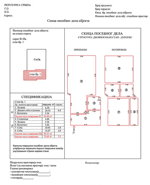
A geodetic survey
A geodetic survey is an integral part of the Elaboration of geodetic works for the purposes of legalization and legalization of buildings. The geodetic survey is a graphic representation of the factual situation on the ground, which includes topography including infrastructure, position and shape of objects, as well as their mutual relationship. The geodetic survey is a necessary document in the process of solving and regulating the property-legal relations of several users of the same real estate. Whether it is a geodetic survey of a residential, commercial building, garage or some other building, it is also important in the process of connection to the electrical distribution network, water supply, sewerage, gas pipeline. A geodetic survey plays a big role when buying real estate, where it shows what is being bought, that is, it indicates the object and the area that is being bought.
For the elaboration of geodetic works and geodetic recording, the necessary geodetic measurements are carried out in the field and based on the obtained results, the data is processed and the necessary documentation and graphic attachments are created.